
Trace a Westford Street Directory Address
For a present-day Westford address, begin with the town's Parcel/Property Lookup Tools. They connect the municipal parcel lookup, Patriot assessment records, map tools, permits, tax maps, and scanned documents. A parcel record can identify a location and recorded owner field. It cannot establish that a named owner occupies the property. The most useful trail carries the parcel identifier forward, rather than treating a street name as a stable key across every system.
- Preserve the address exactly as received, including its number, street suffix, and unit. Keep alternate spelling or number forms beside it.
- Search the town parcel lookup by street and number, then record the parcel ID before moving to another system.
- Open Westford Patriot Properties and compare the location or situs with the owner field, sale details, and book/page reference. The owner field is not an occupant field.
- Carry the parcel ID to AxisGIS, identify the mapped parcel, and note the map layer and date before using its context.
- Search the Middlesex North Registry by owner, then grantor and grantee, using the legal description or book/page when an address search fails.
- For an earlier household lead, check the matching historic directory or street-list edition and the digitized Eagle or Rustic newspaper images.
- For a lawful municipal voter-list request, contact the Westford Town Clerk with a narrow description. The online status checker is for an individual checking that person's own status, not a reverse street lookup.
That sequence keeps owner-of-record, map context, historic occupants, and voter-list fields separate. It also leaves a usable trail when an old description does not match a modern number.
Normalize a Westford Street Record
The town's 2008 house-numbering and street-naming report documents duplicate, inconsistent, and missing street numbers. It also identifies units, in-law apartments, unofficial driveways, and disconnected roads that share a name. Coolidge Avenue and Coolidge Street are a local suffix conflict, while Elm, Fletcher, Lincoln, Maple, Nutting, Oak, Pine, Pond, and Sawmill occur as repeated names. Retain the original wording, then search number and suffix variants.
No verified town-wide renumbering year was found. An older deed or directory should therefore keep its original address string, source year, and spelling. Add a modern parcel only as a cross-reference, with a note when the match is uncertain. Postal city, geographic town, ZIP, parcel ID, and map or deed reference are separate research fields, not interchangeable labels.
Note: A dated address note is more reliable than silently converting a historic road reference into a current-looking street number.
Westford Street Search Fields in Patriot
Patriot Properties lets a Westford researcher search an address in pieces or begin with an owner or parcel. Its detailed assessment results can supply the location or situs, parcel ID, owner field, building data, sale information, and Registry book/page reference. The observed Town Hall row at 55 Main Street is a useful reminder that an address result may be a municipal property, not a household.
| Patriot field | Entry type | Required | Use in an address search |
|---|---|---|---|
| Parcel; owner; street name / street number | Text | No | Start with the parcel or address components, then compare the owner field. |
| Building type; year built; beds; baths | Text or numeric range | No | Narrows assessment records by physical characteristics. |
| Lot size; finished area; land-use code; neighborhood | Range, text, or popup | No | Supplies assessment context, not proof of occupancy. |
| Total value; sale price; sale date; book / page | Range, date, or text | No | Connects a parcel to sale and Registry reference details. |
| Include non-arms-length sales | Checkbox | No | Adds those sale records to the search result. |
The result columns include Parcel ID, Location/situs, Owner, Built/Type, Total Value, Beds/Baths, Lot size/finished area, land-use and neighborhood descriptions, sale date/price, and Book Page. Read “owner” as an assessment database field. A trustee, entity, estate, grantee, mailing addressee, and actual occupant can be different people or organizations.
See the town's property lookup before carrying an address into a second system.
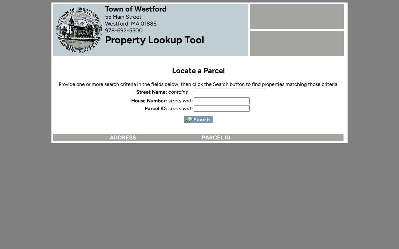
Its address-and-parcel starting point is useful because the parcel ID can travel with the research even when names or street descriptions vary.
Browse Westford Streets in AxisGIS
The Westford GIS Division says the town has maintained GIS since 1999. In AxisGIS, a researcher can search by parcel ID, address, or owner; identify a feature; view assessor information; show parcels, roads, street names, buildings, zoning, conservation areas, and utility layers; print map data; and run an abutter query by distance. Those layers help place a parcel along a street without turning a map result into a claim about residents.
Open the GIS Division's official route before using the viewer.
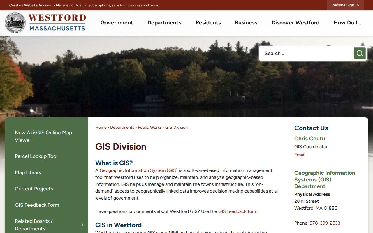
The image points to the town's mapping route, where parcel and road layers can help normalize a street segment before an assessor or Registry search.
GIS data is public, but the town does not guarantee its accuracy or currentness. An abutter result is a distance-based map query, not evidence of a social relationship, title boundary, or occupancy.
Note: Save the map date and selected layer because a visual parcel result needs later checking against the assessor and Registry.
Westford Address Records by Street
A Westford street directory relies on several address-keyed record types, each with a narrow meaning. The parcel ID can connect assessment, mapping, permits, and deed research. The street string is still useful, but a historic Registry record may depend on a person name, legal description, or plan rather than a modern address.
| Address record | Custodian or route | What it can show | Important limit |
|---|---|---|---|
| Assessor/property | Patriot and town parcel tools | Owner field, situs, parcel, values, physical details, sale, book/page | Owner and mailing details can differ from situs and occupant. |
| GIS parcel map | Westford GIS / AxisGIS | Parcel geometry, roads, layers, and abutters | Map-derived information is not guaranteed current or accurate. |
| Recorded land | Middlesex North Registry | Parties, deeds, plans, liens, dates, book/page or instrument | Name and legal-description search is stronger than address search. |
| Municipal voter list | Westford Town Clerk request | Public fields legally available in a municipal list | The self-service status checker is not a reverse lookup; confidential voters are excluded. |
| Permits | Westford permit portal | Applications, applicant/owner, address or parcel, status, dates, inspections, fees | A permit application does not prove current occupancy. |
| Historic listings | Fletcher Library, Historical Society, State Library | Dated name-to-address or address-to-name context | Confirm the edition, abbreviations, and time period. |
Utilities and RMV address data are not public street-lookup tools. The Town Clerk can explain what a lawful municipal-list request may include and what must be redacted. That is a different access channel from an online map or index.
Westford Permit History by Street
The Westford parcel-permits search provides an address and parcel-based route into permit history. The portal can show applications, permit or license type, status, applicant or owner fields, issued permits, inspections, approvals, and fees. Its observed pages do not state a coverage start date, so a missing result cannot establish that no work or record exists.
Open a parcel's permits after recording the parcel ID from the town lookup.
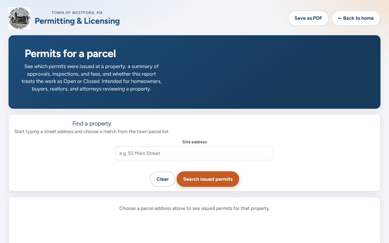
Permit status adds property chronology, while the applicant may be an owner, contractor, or agent. It should never be relabeled as a resident record.
Westford Deed Chains by Street
The Middlesex North Registry serves Westford and describes scanned material back to 1629. Its Recorded Land name index covers 1976 to the present, Book Search reaches from 1950, and books 1 through 1131 cover 1855 through December 1949 through the unindexed-property route. Pre-1855 material copied from Cambridge requires historic town, book, and page context. Modern property-address entries become routine only in the late 1990s, which is why the Registry recommends owner-name variants and omitting suffix words such as Street, Road, or Avenue.
Build the chain backward from the recorded owner or book/page, then identify grantor, grantee, party role, document type, recording date, legal description, plan reference, and image page. Check the full instrument rather than only an index row. The Registry offers free searching, viewing, printing, and downloading; its Lowell counter is another route when an older index needs browsing. Official copies should come through the Registry, not an unrelated deed-copy solicitation.
Note: A legal description can remain useful even when the street number changes or does not appear in an older deed.
Westford Street Names Need Dates
Westford's records are older than its standardized street addressing. The 2008 report says that town databases and the Northern Middlesex Registry index street names now, while older records were created before streets and addresses were the usual index. That makes a source date essential for a name like Main, Pine, Coolidge, or Sawmill. A title chronology may remain sound while a number or suffix shifts around it.
For an older property reference, preserve the deed's road, brook, mill, farm, neighbor, or lot language. Then compare it with an AxisGIS road layer, a Registry plan, an assessor parcel, and a dated historic map. Westford separated from Chelmsford in 1727 and incorporated in 1729, so early material can also carry older town or legal descriptions. The town's history does not support a claim of one verified systematic renumbering event.
Historic Westford Street Directory Listings
Street listings and local directories add dated occupant context after the property trail is in place. The State Library inventory identifies Westford directory runs from 1896 through 1967, with gaps. The Westford Historical Society describes street listings back to the 1980s, though the exact reverse or criss-cross edition years were not confirmed. A criss-cross directory is an address-to-name format, unlike a householder index that begins with a name. Ask the Fletcher reference desk or Historical Society to confirm the edition and its abbreviation key.
- Parcel
- A municipal property identifier used to connect assessment, map, permit, and related records.
- Situs address
- The property location shown in an assessment record. It is distinct from an owner mailing address.
- Plat
- A recorded plan that can show a subdivision, road layout, or lot arrangement. Use the Registry's filed plan for the record copy.
- Criss-cross directory
- An address-to-name directory format. A Westford run should be verified before treating it as available for a given year.
The J.V. Fletcher Library has local-history routes for newspapers, annual reports, maps, and directories, while the Westford Historical Society holds local research resources. The library's move can affect access. Newspaper searches in the Advantage Preservation collection need image checking because OCR can misread names and numbers.
Limits of the Westford Street Directory
The street directory does not list every person connected with a Westford address. Public parcel and deed records do not reliably identify renters, other household members, guests, unlisted occupants, confidential voters, or utility customers. RMV address information is restricted. A permit applicant can be a contractor or agent, and a historic directory records a person at a point in time, not an ongoing presence. Label each result by source type and date.
Lawful use. Use Westford address records for personal, lawful research and civic or family-history questions. Do not use them to stalk, harass, intimidate, or harm another person.